Grab a Local Map for Better Dockside Dining

Quick Tip
Always carry a physical local map to discover small-town eateries that aren't always prominent on digital maps.
Many boaters assume that a GPS or a smartphone app is all they need to find a great lunch spot on the water. That's a mistake. Relying solely on digital tools often leads to missing the best hidden gems because many of our local dockside restaurants are tucked away in spots where cell service is spotty or GPS accuracy drops. This post explains why a physical, local-specific map is your best tool for finding the perfect dockside meal in the Thousand Islands.
Why Should I Use a Physical Map for the St. Lawrence?
A physical map provides a reliable, offline backup for when your signal drops near the granite islands. While the Thousand Islands region is well-mapped, digital-only navigation can fail you when you're trying to spot a specific small dock or a shallow inlet. Having a hard copy allows you to see the broader layout of the river and the proximity of various marinas to dining areas.
It's also about seeing the "big picture." You might see a small inlet on a paper map that looks perfect for a quick stop—something a tiny screen won't show you. It helps you plan your day without constantly staring at a glowing screen.
What Are the Best Types of Maps for Boating?
The best maps for this region are those that combine topographical details with local amenities like fuel docks and restaurant locations. You'll want a mix of navigational accuracy and local knowledge.
- Nautical Charts: Essential for safety and understanding depths (check the Canadian Coast Guard standards).
- Regional Tourist Maps: These are better for finding the "fun" stuff, like which restaurant has the best patio.
- Local Printouts: Sometimes a simple, printed list of dockside stops from a local shop is the most effective.
If you're out on a rental, you might not have a high-end Garmin unit. That's fine. A simple paper guide is often more useful for finding a burger and a cold drink than a complex navigation system.
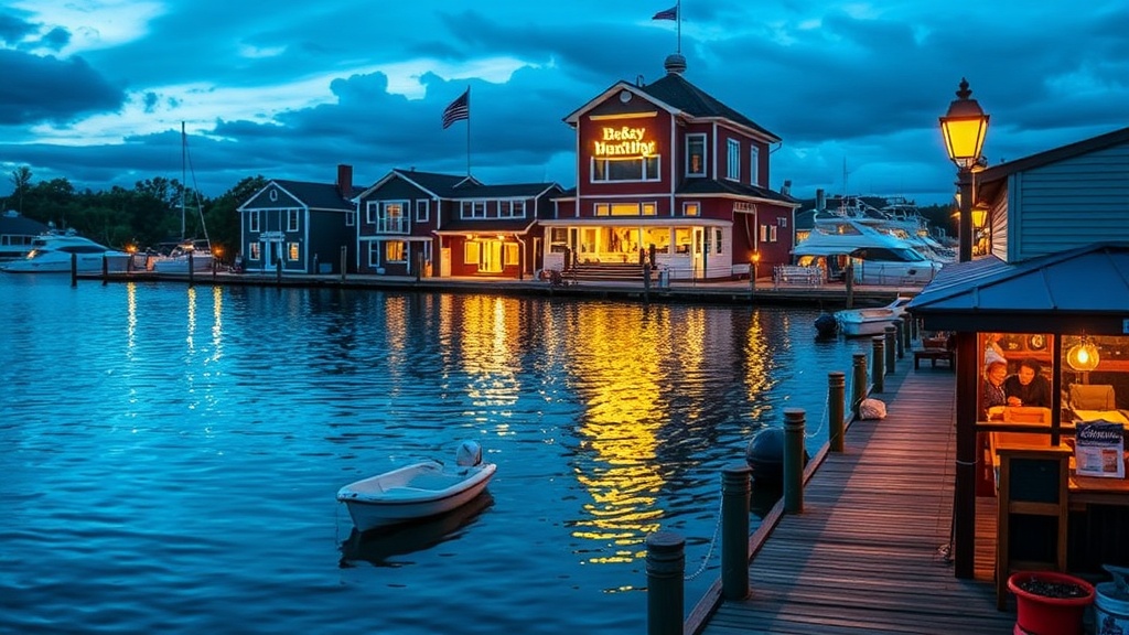
How Do I Find the Best Dockside Dining?
Look for locations that offer clear docking instructions and easy access for your specific boat size. Before you head out, it's a good idea to check the weather and the river currents. If you're planning a long day of exploring, you might also want to know how to keep your cooler ice-cold so your lunch stays fresh.
Don't forget to check the depth at the dock. A map might show a restaurant, but it won't tell you if the water is too shallow for your specific boat during a low tide or low water season. Always look for markers that indicate depth and dock availability.
| Map Type | Best For... | Primary Drawback |
|---|---|---|
| Digital GPS | Real-time positioning | Signal drops near islands |
| Nautical Chart | Safe navigation | Lacks "fun" local info |
| Local Paper Map | Finding hidden gems | No real-time updates |
Grab a map at a local shop in Rockport or Gananoque before you push off from the dock. It's the smartest way to ensure your lunch break is as smooth as the river.